
Prescott Valley ZIP Coverage
Two principal postal areas carry the Prescott Valley name. The older core code serves established neighborhoods and the State Route 69 business corridor. The newer code reaches northern and northeastern growth areas, including large-lot and fringe parcels. Neither outline is the same as the incorporated town line. Use the USPS ZIP Code Lookup for one complete delivery address and Yavapai County GIS for the parcel's jurisdiction.
| Postal code | Local coverage | Service point | Boundary note |
|---|---|---|---|
| 86314 | Established and core Prescott Valley neighborhoods; commercial and State Route 69 corridor | Prescott Valley Post Office, 8307 E State Route 69 Ste 1; annex at 6545 E 2nd St | Postal territory can cross the legal town boundary |
| 86315 | Northern and northeastern growth, including areas in and near Pronghorn Ranch, Mingus West, Granville expansion, Poquito, and Lonesome Valley fringe | Carrier operations associated with Prescott Valley postal facilities | Some large-lot and fringe addresses lie outside incorporated limits |
No authoritative source identified a unique or PO-box-only code assigned solely to Prescott Valley. An independently named 86315 retail post office was also not found in official USPS results. That makes address-level verification more useful than a commercial ZIP map.
Prescott Valley's 2006 ZIP Split
The postal change is unusually well documented. Effective July 1, 2006, USPS moved 3,059 deliveries from 86314 to a new Prescott Valley 86315 last line. The old code remained valid during a one-year transition through July 1, 2007. A house, parcel, or road did not move. Only its routing label changed.
That detail prevents a false break in a historical search. When an address appears with 86314 before the split and 86315 after it, compare the street, parcel number, and legal description before assuming two places are involved. Search both codes in records from the transition year. Newspapers, permit exports, directories, and recorded instruments may preserve either form.
Note: Search both 86314 and 86315 around 2006 and 2007, then use the parcel identifier to confirm continuity.
Verify Prescott Valley ZIP Codes
The postal service lookup is the controlling source for delivery format. It offers three distinct modes. Choose the mode that matches the question. A city-wide list is useful for orientation, while a full address result is better when a boundary or historical record is disputed.
| USPS lookup mode | Input | Best use |
|---|---|---|
| ZIP Code by Address | Complete street address, city, and state | Confirm the current delivery code for one property |
| City and State | Prescott Valley, Arizona | See postal codes associated with the named place |
| Cities by ZIP Code | A known five-digit code | Check the city names accepted for that code |
The official USPS form presents those modes in one place.
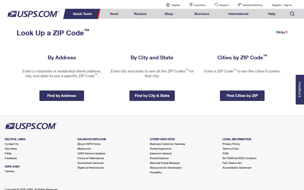
The captured form is meant for exact postal validation. It does not identify residents, parcel owners, or the municipal records office.
Find Prescott Valley Residents by ZIP
A ZIP code directory narrows the area, but official systems still work from a person, parcel, or address. Begin with postal verification, then move to the record system that answers the actual question. The result will be a set of parcels or a matched individual record, not an unrestricted roster of everyone in a postal zone.
- Enter the complete address in USPS ZIP Code Lookup and record the current five-digit code.
- Open Yavapai County GIS, turn on the ZIP Codes and municipal-boundary layers, and find the parcel.
- Copy the parcel number, physical address, legal description, and incorporated-area field. Keep the owner mailing address separate.
- Use Assessor, Treasurer, or Recorder records for a focused person or parcel question. None offers a dependable ZIP-wide resident roll.
- For personal voter verification, use the official voter portal with the required identity inputs. Public voter data remains subject to Arizona use and privacy limits.
Once a postal zone has been reduced to a road, the Prescott Valley street directory carries the search into address-keyed parcel and deed records.
Map Prescott Valley ZIP Records
Yavapai GIS separates layers that are often confused. The ZIP layer groups delivery geography. Prescott Valley Zoning and the municipal boundary show town jurisdiction. Parcel polygons support selection and adjacency. Tax-area, election, fire, school, and supervisor layers describe other service boundaries. A single address can sit inside many overlapping areas.
The viewer also includes aerial series from 2000 through recent NAIP and regional imagery, including Prescott and Prescott Valley imagery from 2013. These images can help date visible development. They do not name occupants. Parcel graphics are fitted representations, not survey lines, and a newly assigned city address can lag county display feeds.
- Use the ZIP layer for postal orientation.
- Use the parcel layer for ownership and legal land links.
- Use town zoning or boundary data to choose the right permit custodian.
- Use dated imagery to test when roads or structures appear.
- Use election layers for district geography, not voter identity.
Prescott Valley ZIP Versus Limits
“Prescott Valley” on the last line is a USPS delivery name. It does not certify that a parcel is inside the Town of Prescott Valley. Northern 86315 includes developed subdivisions as well as rural or fringe land. Fire, school, voting, postal, and town lines do not share one outline. GIS jurisdiction, rather than the mailing label, decides whether a town office or county office holds a permit or code file.
The distinction also affects public records. A town records request should identify a record created by Prescott Valley. A county request belongs with the county department that created it. Postal geography can help locate an area, but it cannot choose the custodian on its own.
- ZIP and ZIP+4
- The five-digit code names a broad delivery area; the extra four digits narrow mail sorting to a smaller delivery segment.
- PO-box ZIP
- A code used chiefly or solely for post office boxes. None was verified as exclusive to Prescott Valley.
- Unique ZIP
- A code assigned to one very high-volume organization. None was verified for Prescott Valley.
- Carrier route
- A postal delivery path within a ZIP. It is not the same as a neighborhood or town district.
Three Prescott Valley Address Keys
Property systems carry three different address ideas. The situs address is the physical location assigned to the parcel. The owner mailing address is the destination for assessment or tax notices and may be somewhere else. The legal description identifies the land through a subdivision lot and block, section-township-range, or metes and bounds. When a road name or ZIP changes, the legal description and parcel lineage provide the stronger bridge.
| Address key | What it identifies | Search caution |
|---|---|---|
| Situs address | The parcel's physical location | Can change or lag after local address updates |
| Owner mailing address | Where official property mail is sent | Does not prove that the owner lives at the parcel |
| Legal description | The recorded land through lot, block, survey, or township terms | Use with the parcel number and deed for continuity |
Preserve letter suffixes in a Yavapai parcel number. Splits and combinations can create parent and child identifiers, and dropping a suffix may point to the wrong land.
Prescott Valley Postal Facilities
The official Prescott Valley Post Office listing identifies the main facility at 8307 E State Route 69, Suite 1, with an 86314 delivery label. A postal annex is listed at 6545 E 2nd Street. Official results did not establish a separately named 86315 retail office, so avoid turning a carrier operation into an invented public counter.
The facility listing gives the correct source for current services and posted details.
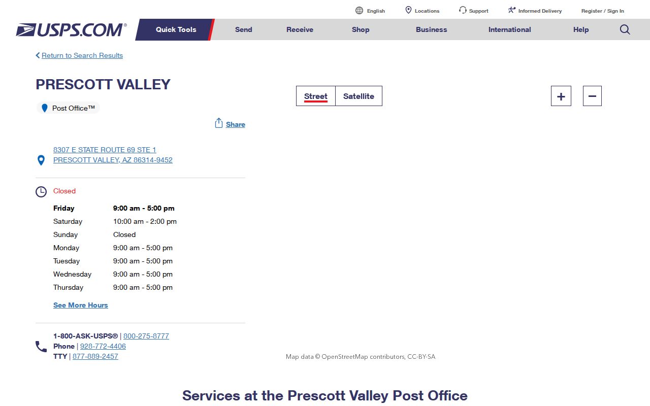
The captured USPS listing supports the 86314 facility facts. Delivery for a specific northern address still needs the address lookup rather than an assumption based on the nearest counter.
Limits of a ZIP Directory
No official portal publishes a casual ZIP-wide list of Prescott Valley residents. GIS can select parcels inside a mapped area, but the result is land data. The Assessor shows assessed owners, not renters, family members, or all occupants. Treasurer records are account based. Recorder documents are indexed mainly by party and recording details rather than a dependable postal field.
Voter self-service confirms an individual's registration and election details when the required inputs match. It is not a public street or ZIP browser. Arizona voter lists are controlled by A.R.S. § 16-168, and protected addresses may be withheld under related confidentiality rules. A Prescott Valley ZIP code directory is therefore best used as a geographic filter followed by a narrow, lawful search.